

sanal mağaza
Randevu
etkinlikler
Pop-up
Regiomap: Interactive Map
Sunan:
Clickable world and US maps, color your regions
Henüz değerlendirme yok
Ücretsiz paket mevcut

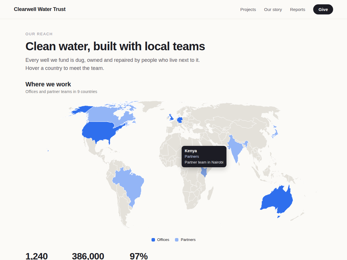
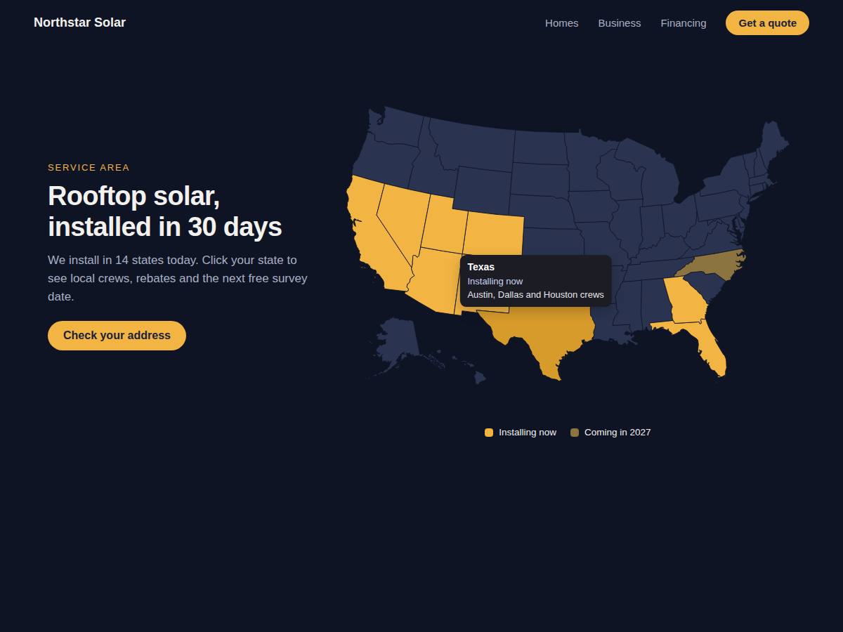
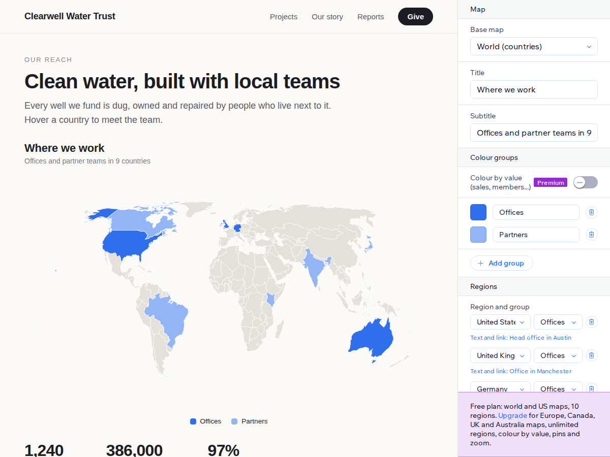
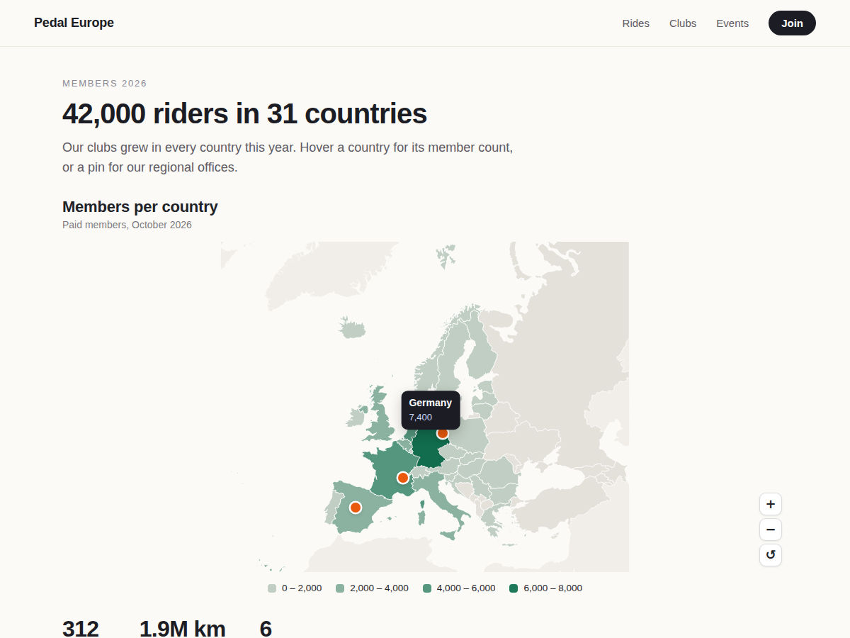
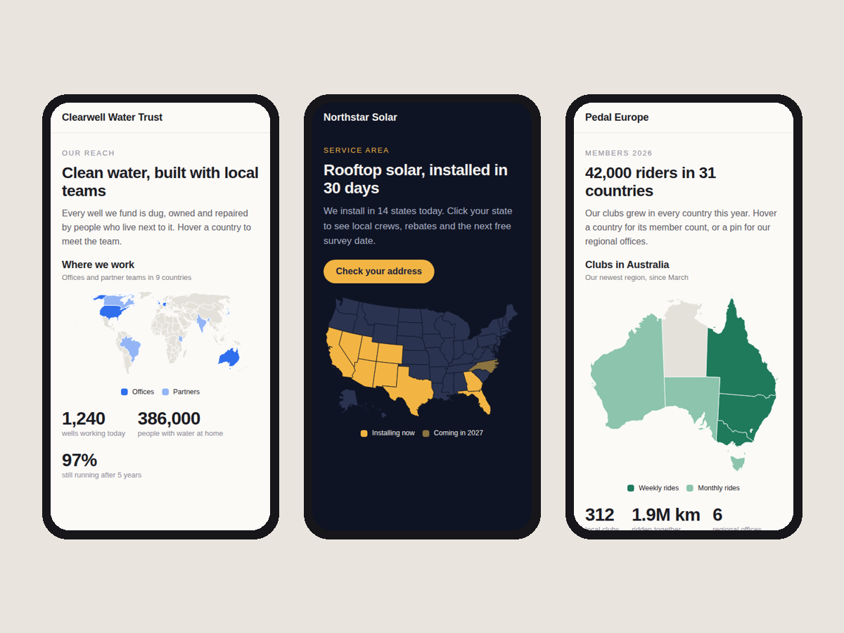
Regiomap: Interactive Map uygulamasına genel bakış
- Color countries or US states in a few clicks
- Hover text and a link for every region
- Color groups with a legend, or color by value
- Sharp on phones, readable by screen readers
Değerlendirme ve yorumlar
Bu uygulama henüz değerlendirme almamış. İlk değerlendiren siz olun.Fiyatlandırma ve ücretli abonelikler
Basic Paketi
Ücretsiz
World map and US states map
Color up to 10 regions, 3 groups
Hover text and a link per region
No branding on your site
Premium Paketi
$
4
00
/ay
Europe, Canada, UK and Australia maps
Unlimited regions and color groups
Color by value with a legend
Pins with pop-up text, zoom buttons
* Fiyat USD cinsindendir.